Description of the tool
This tool allows the user to define a subarea of the map using a graphic rectangle and the map will update to the selected extent.
How to use the tool
Prerequisite:
None.
Steps:
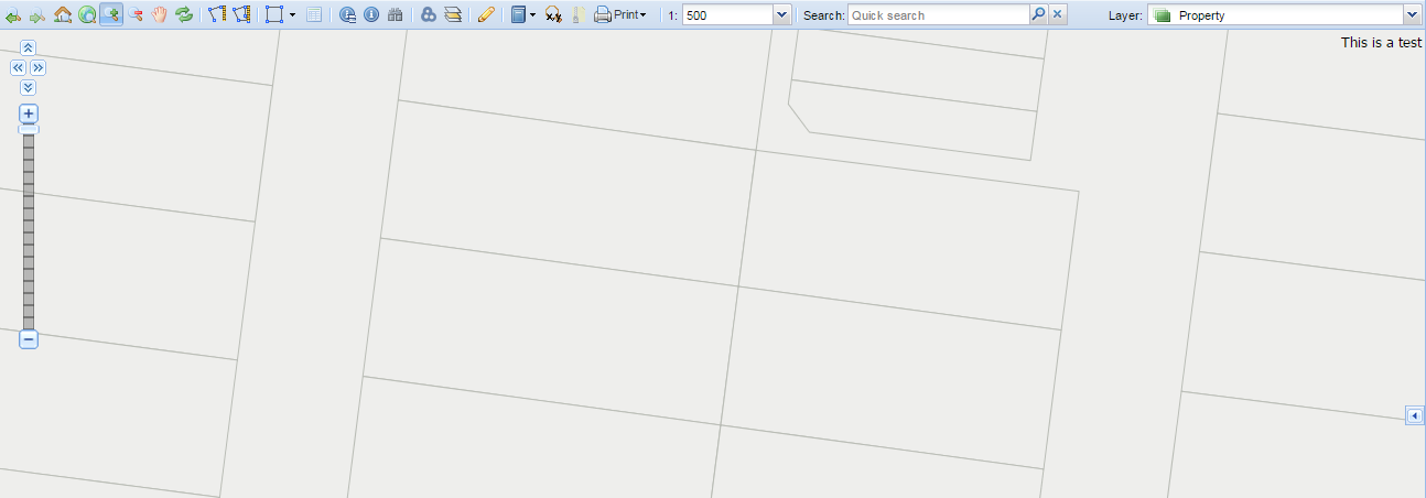
- Press the Zoom In tool button.

- Place the mouse cursor at a map location and hold the left mouse button down to drag the rectangle over the map. Release the mouse button to define the rectangle for the geographic area of interest.
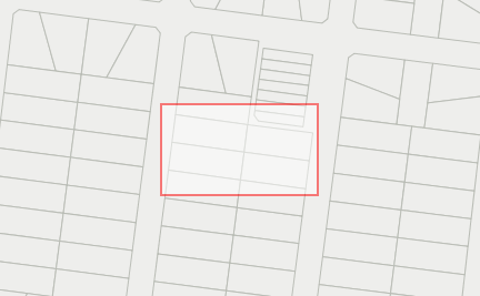
- The map extent will update to show the geographic area defined by the rectangle.