Polygon
Polygon
- Blair Darragh (Deactivated)
- Lucy Minato (Deactivated)
Owned by Blair Darragh (Deactivated)
Last updated: 27 Mar, 2017 by Lucy Minato (Deactivated)
Description of the tool
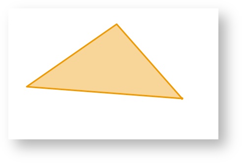
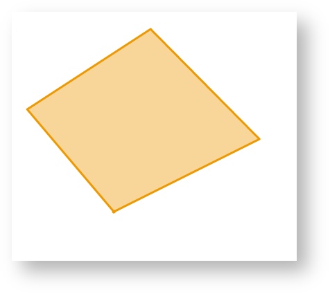
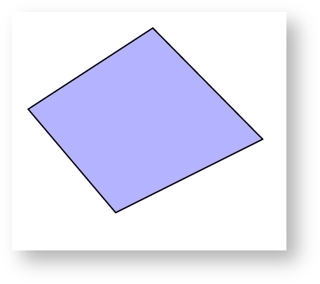
This tool allows you to add a Redline polygon to the map. A polygon is an area bounded by three or more line segments.
How to use the tool
This tool uses a left mouse click to add the location of the line segments and double left mouse click to finish adding the polygon to the map. The polygon will appear on the map progressively as you are drawing it.
Prerequisite:
None
Steps:
- Click on the Redline Polygon tool.

- Place the mouse cursor on the map and press the left mouse button to define the start location of the polygon.
- Move the cursor to draw the first line segment.
- Click on the map to define the location of the end point of the first line segment.
- Move the cursor to draw the second line segment.
- Click on the map to define the location of the end point of the second line segment.
- Move the cursor to draw the third line segment.
- Click on the map to define the location of the end point of the third line segment.
- Double left mouse click to finish drawing the polygon.
- The polygon will be drawn according to the current polygon style settings. To set the default Redline polygon style, set the line and fill styles as described in Line Settings & Fill Settings.
- You can also add a label for this newly added Redline polygon by typing the required text in the text box at the bottom left of the Redline menu. This label remains part of the Redline so when the Redline polygon is moved, the label will move with it.

, multiple selections available,